Story maps developed during the York River Wild and Scenic Study:
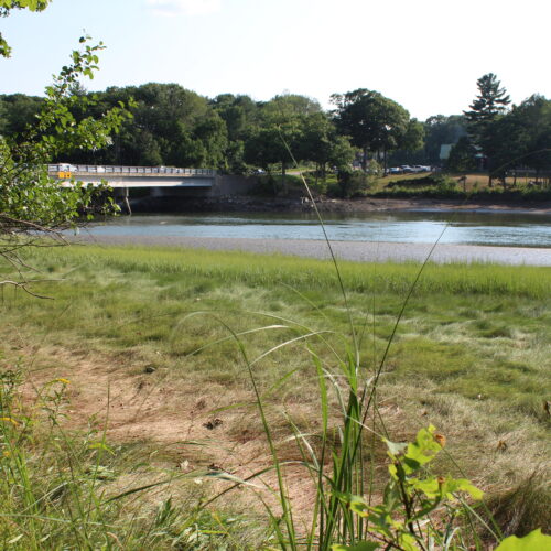
The following maps show various features of the York River watershed.
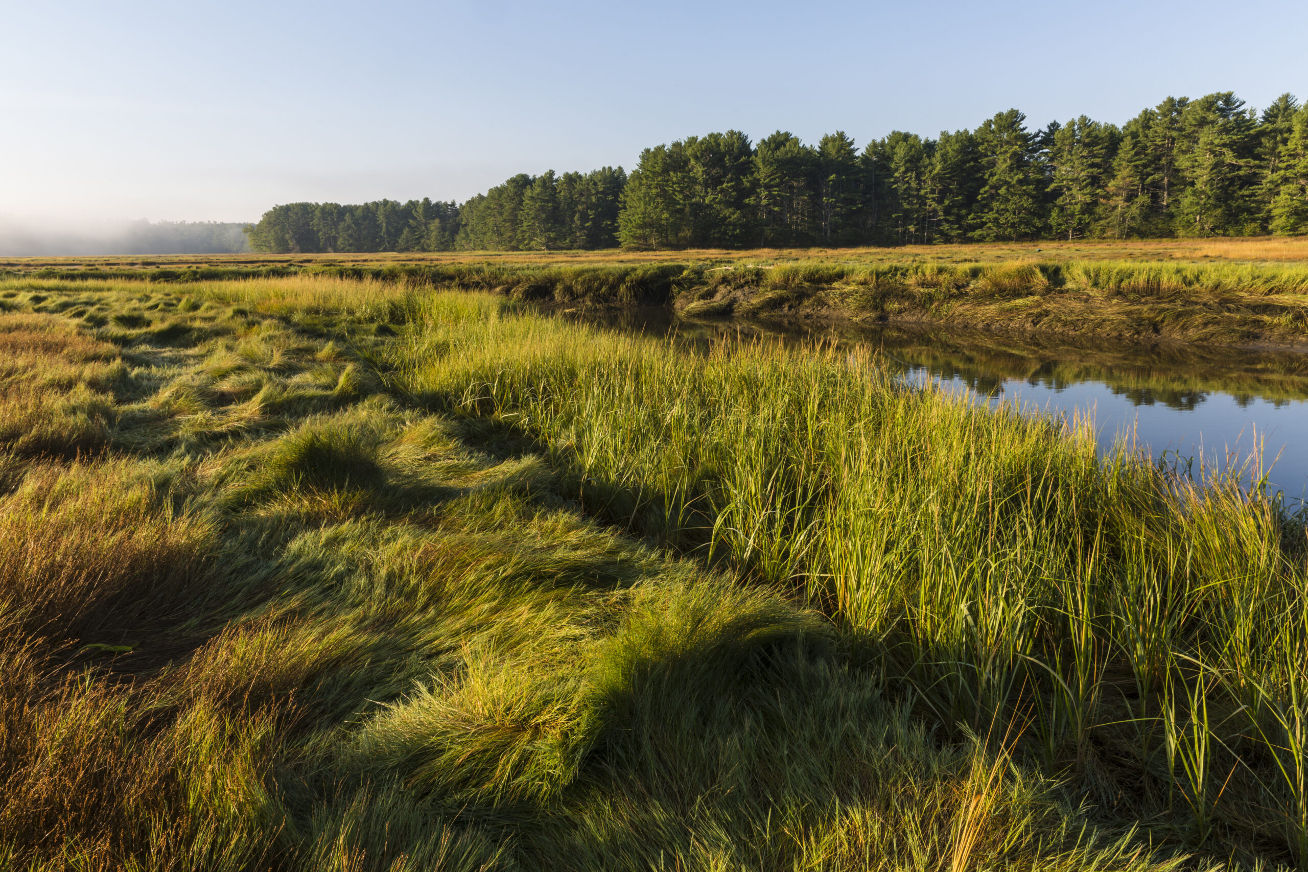
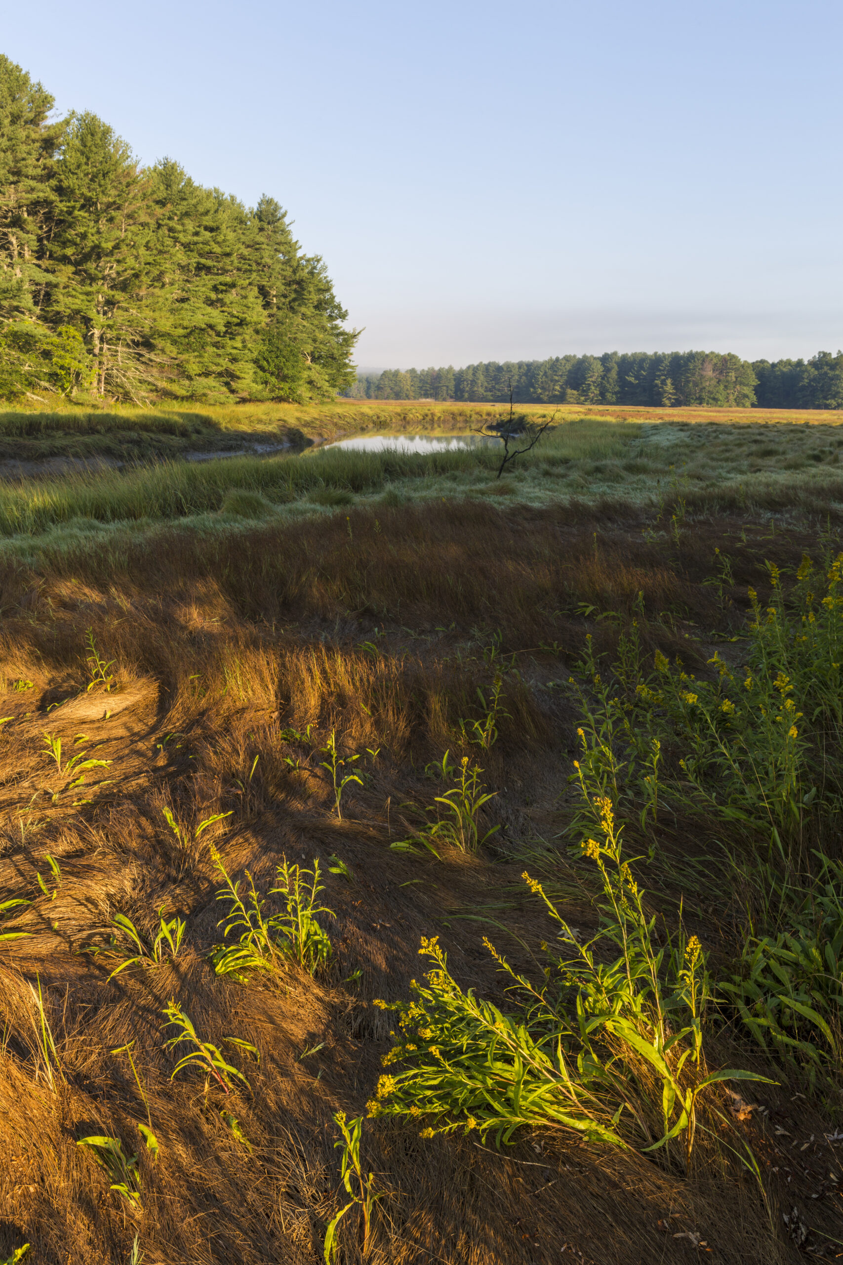
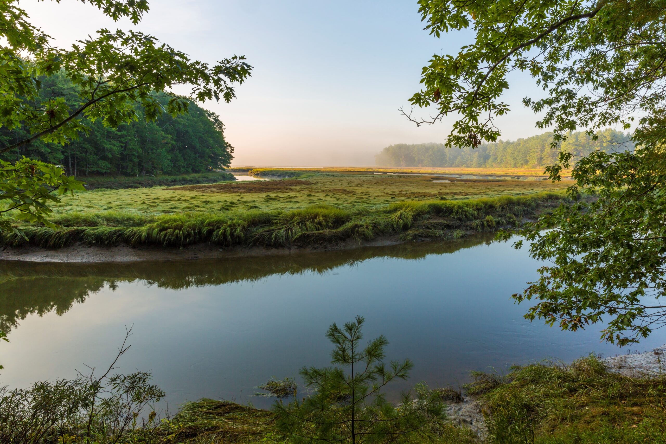
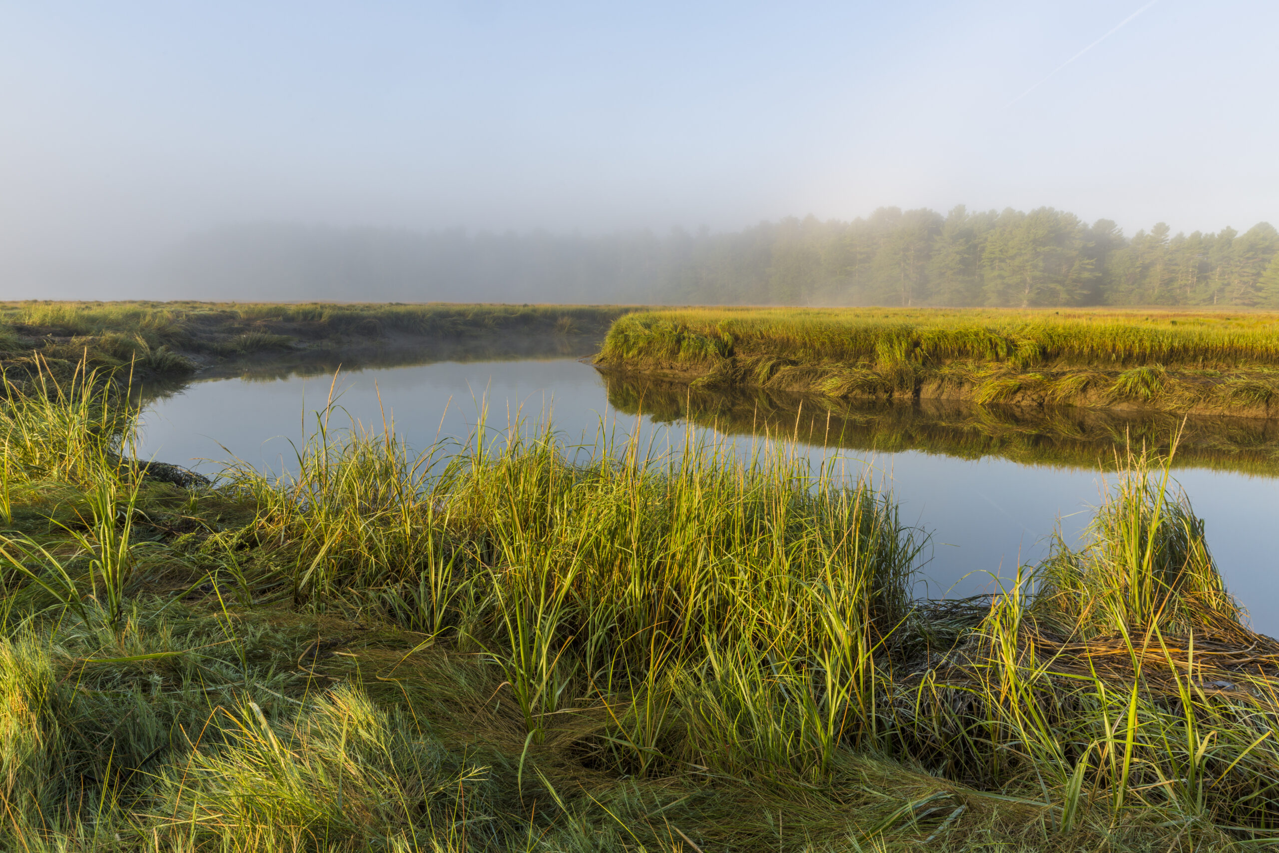
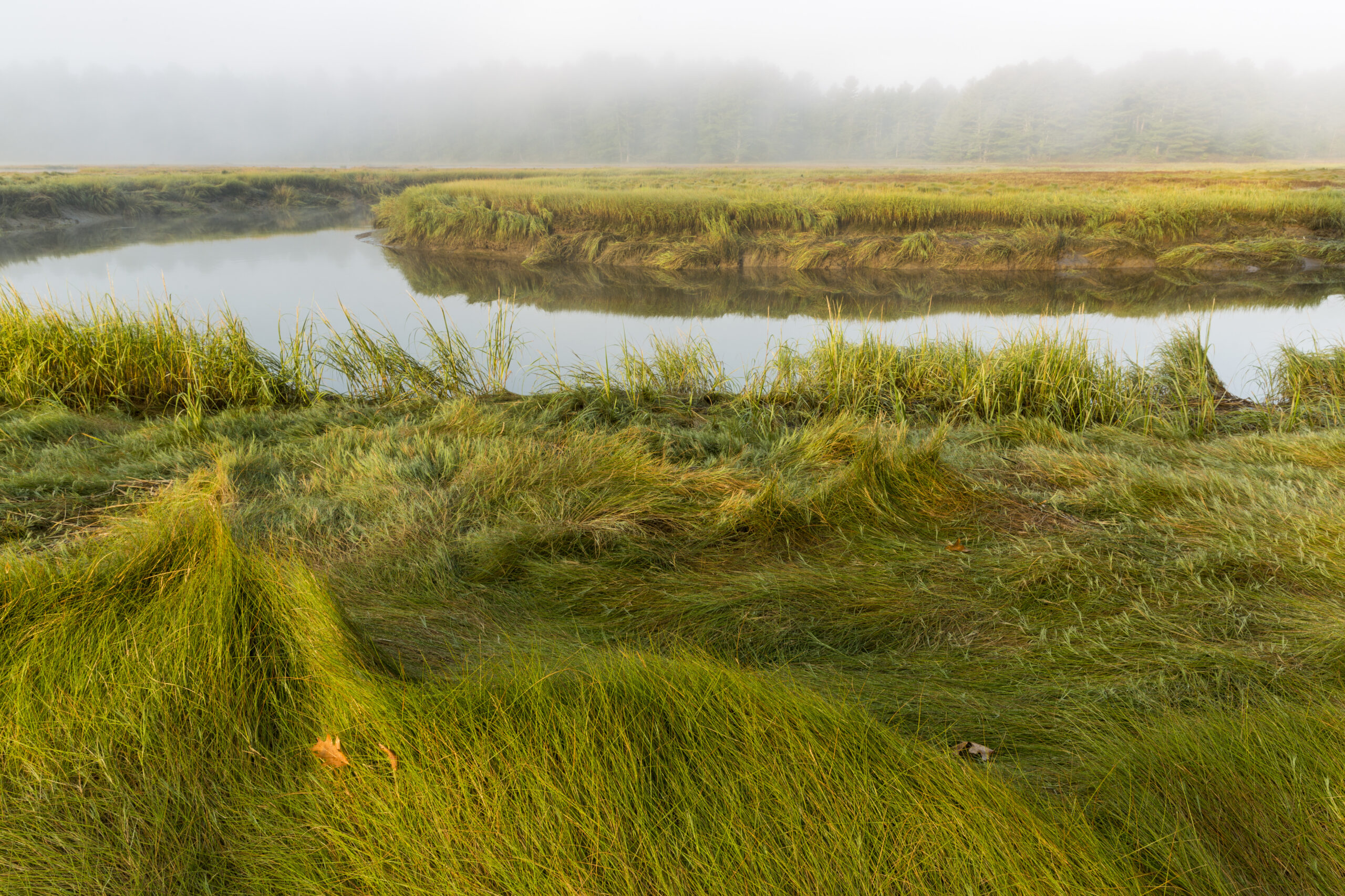
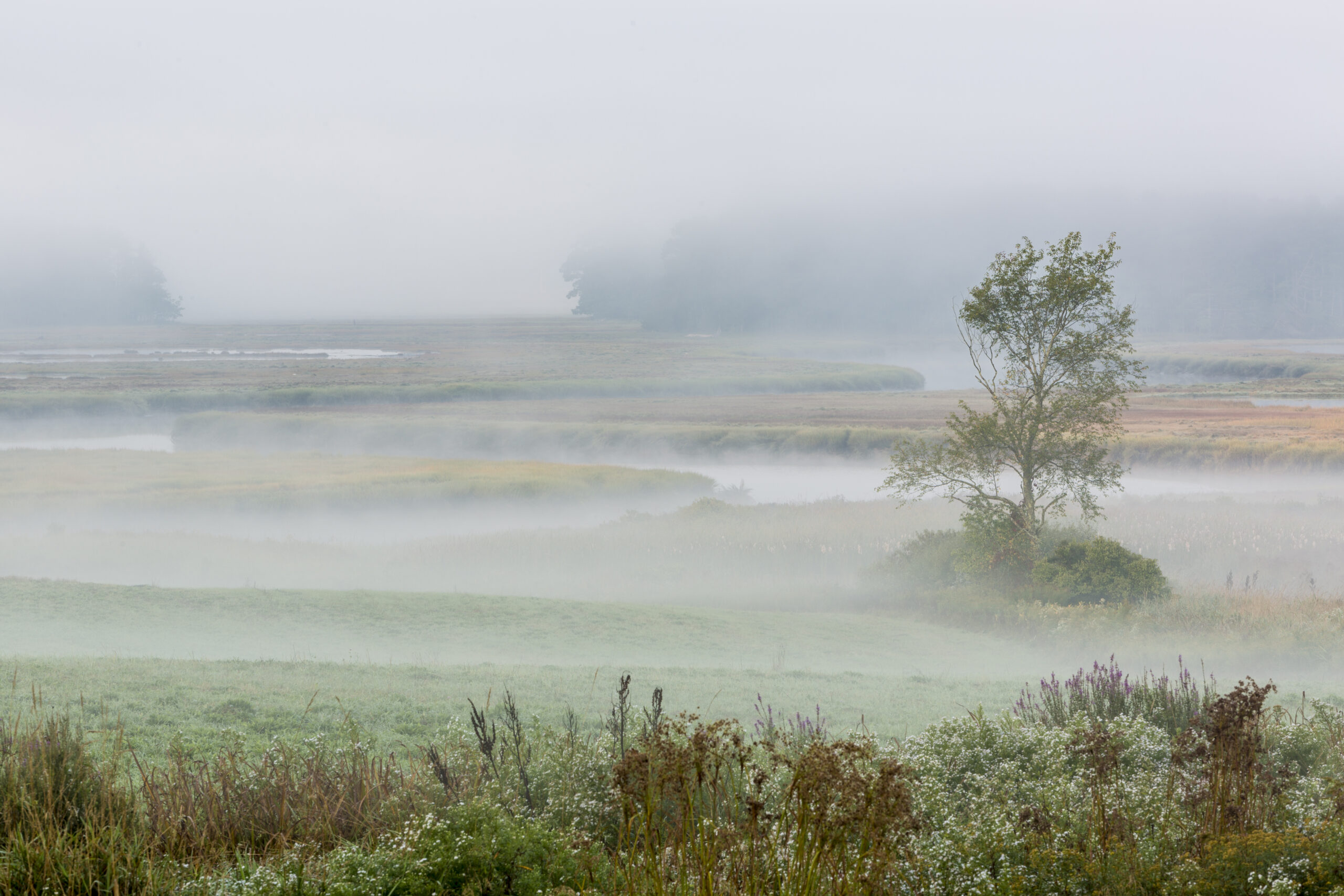
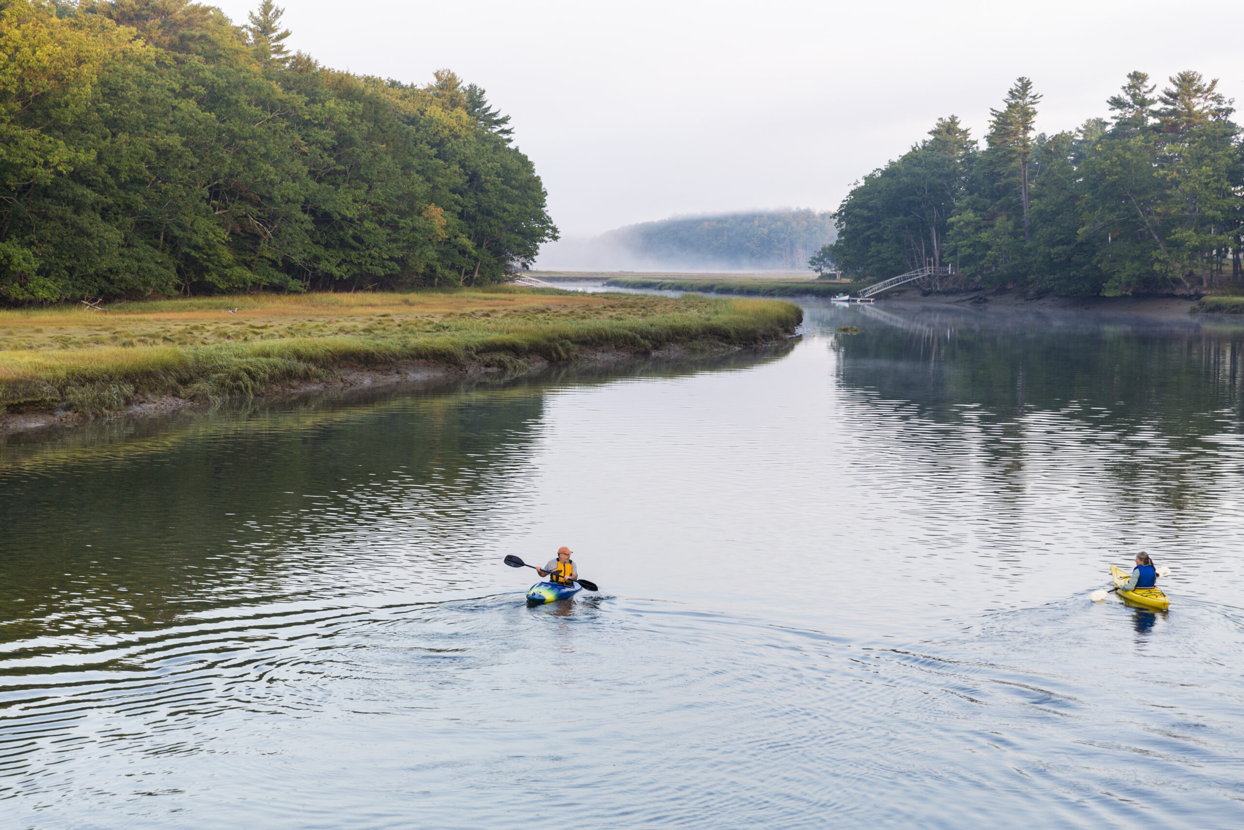
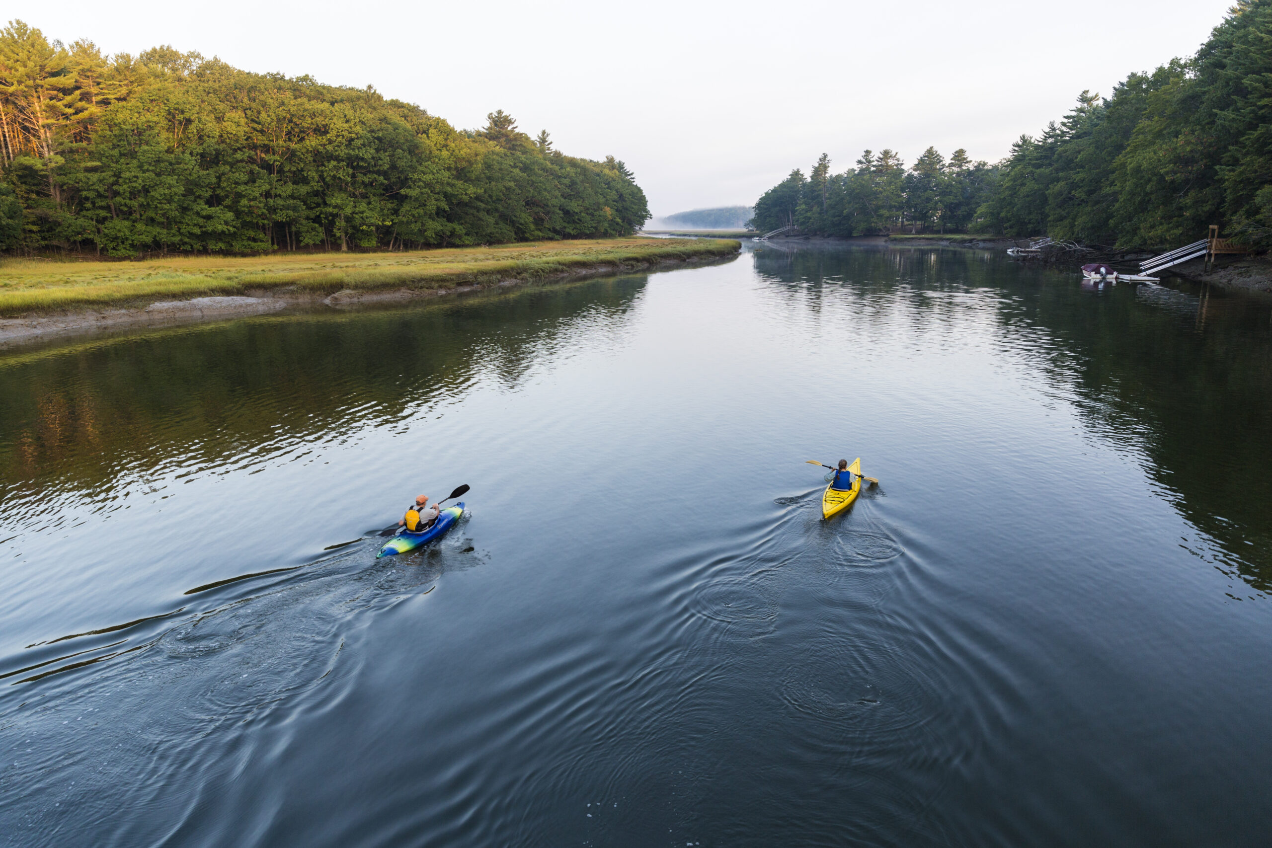
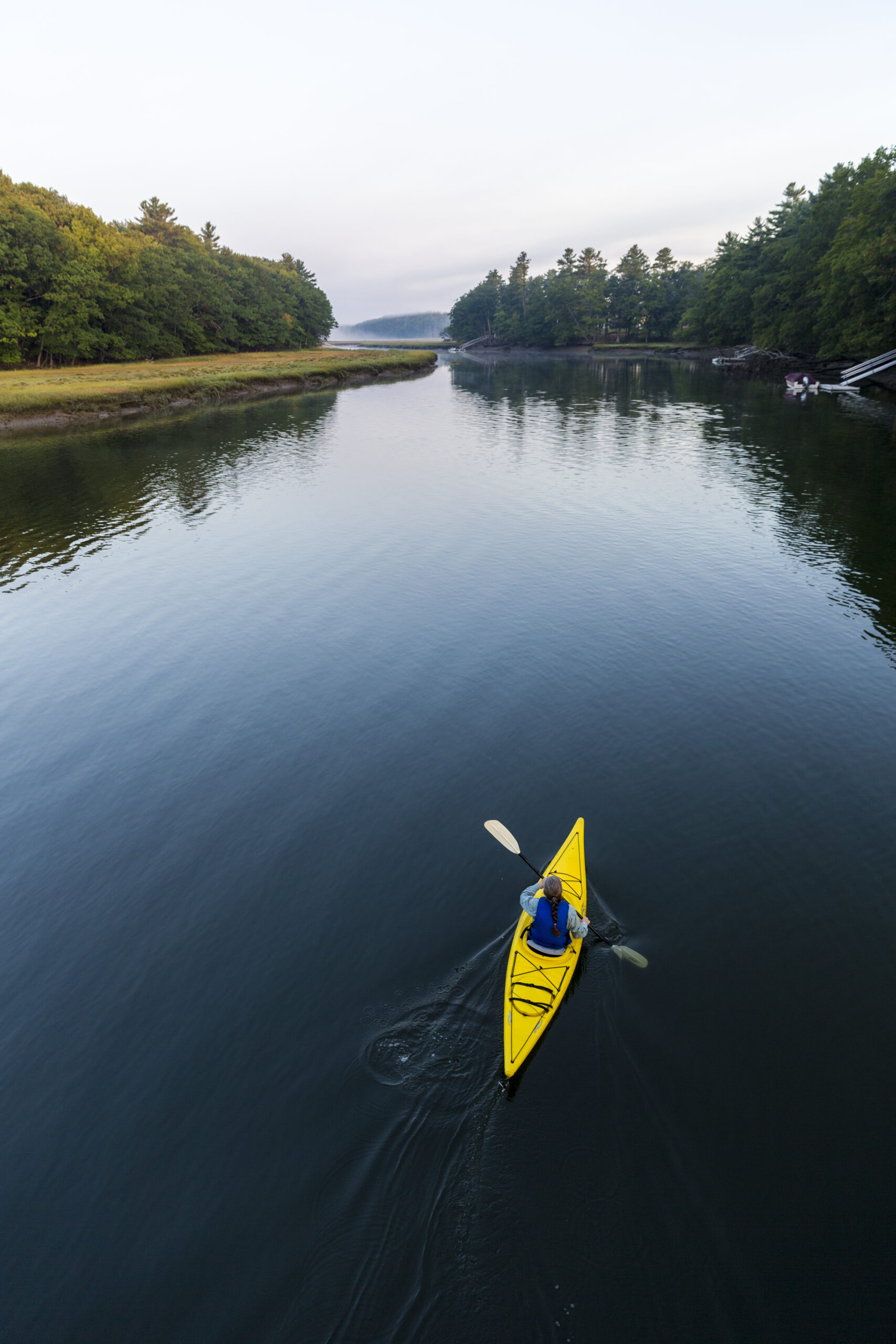
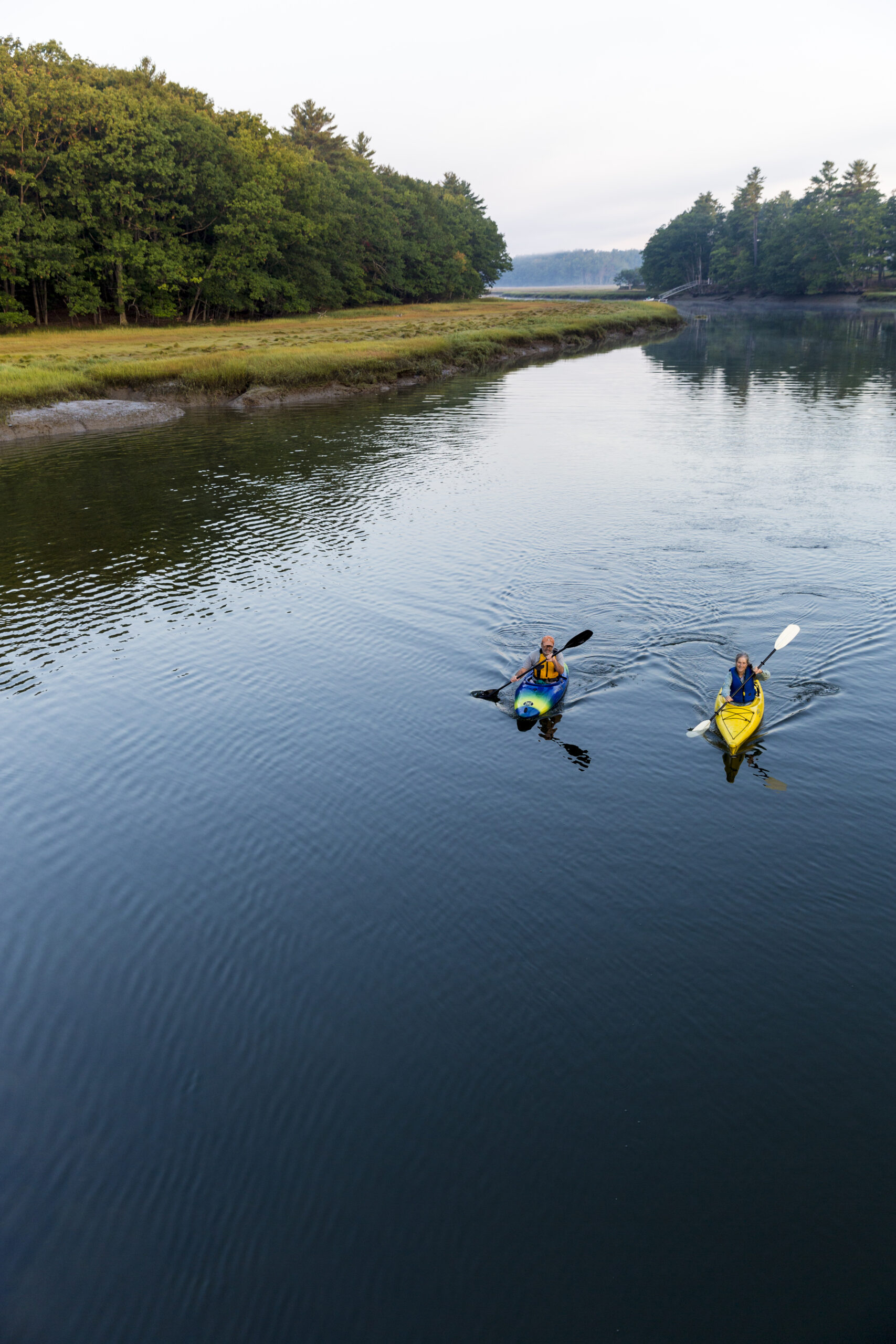
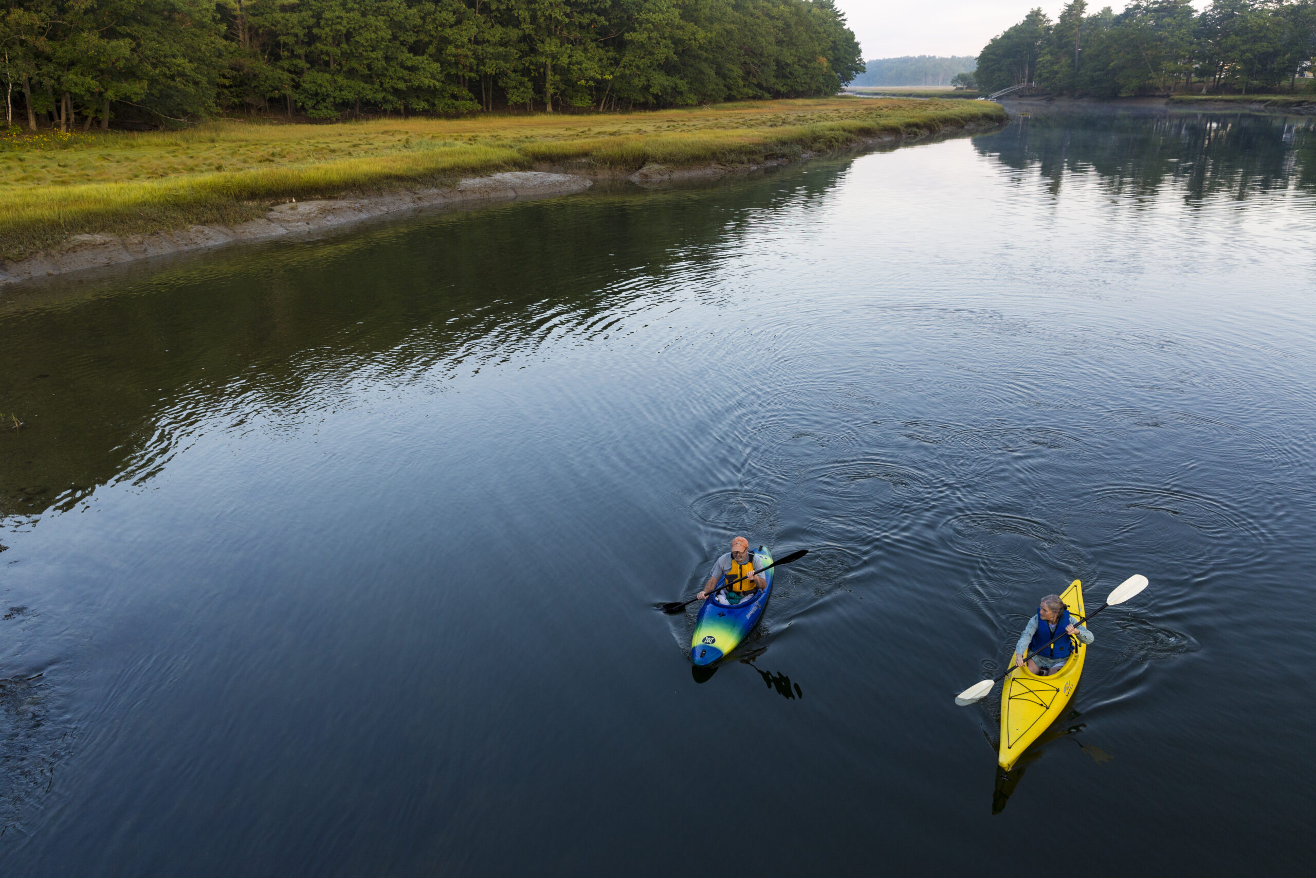
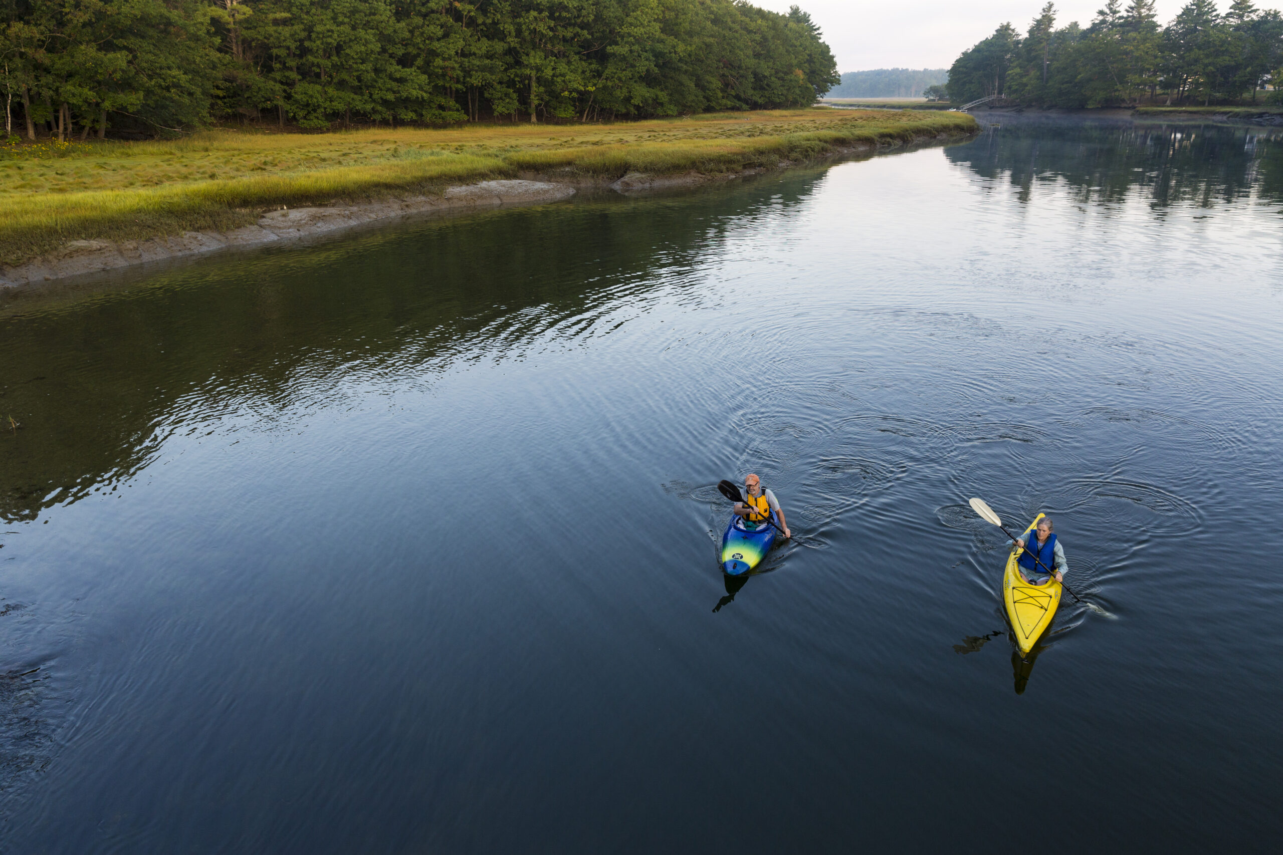
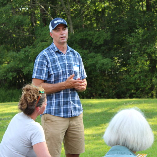
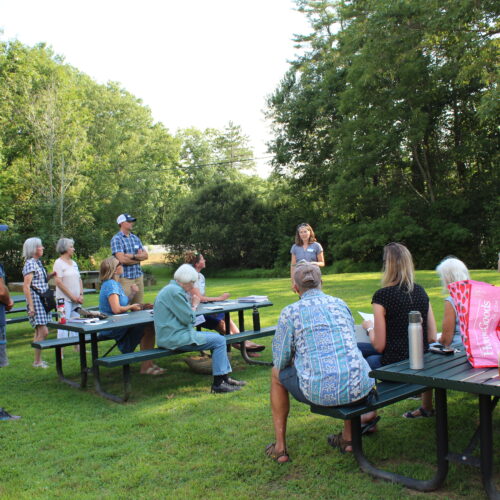
Photos by Jerry Monkman, Ecophotography.com:
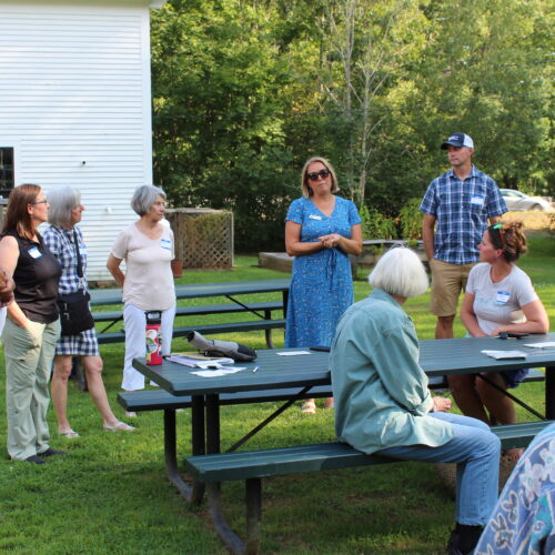
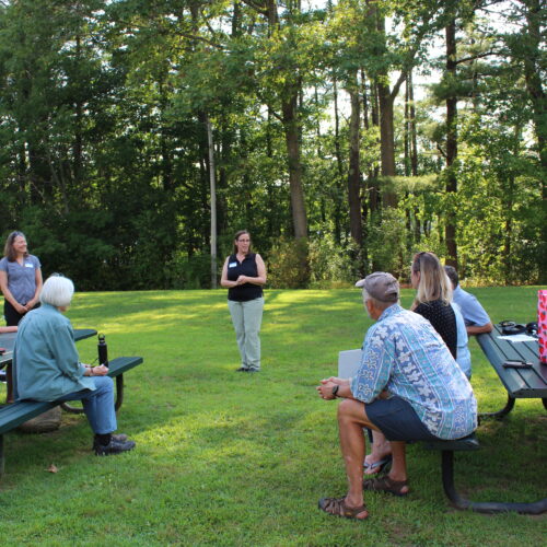
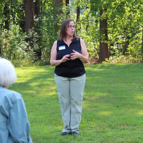
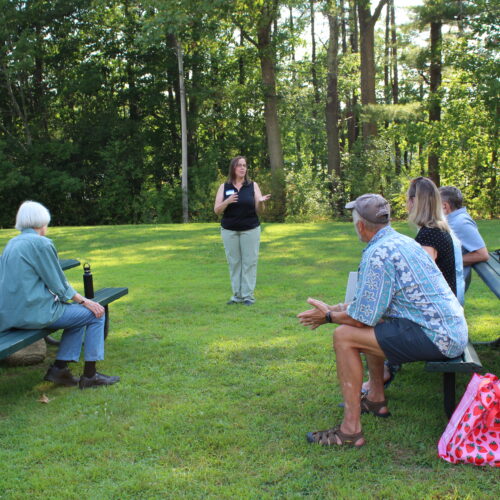
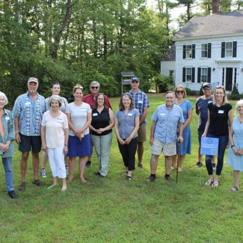
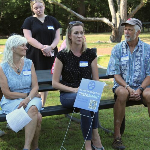
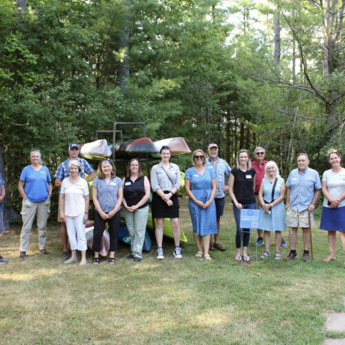
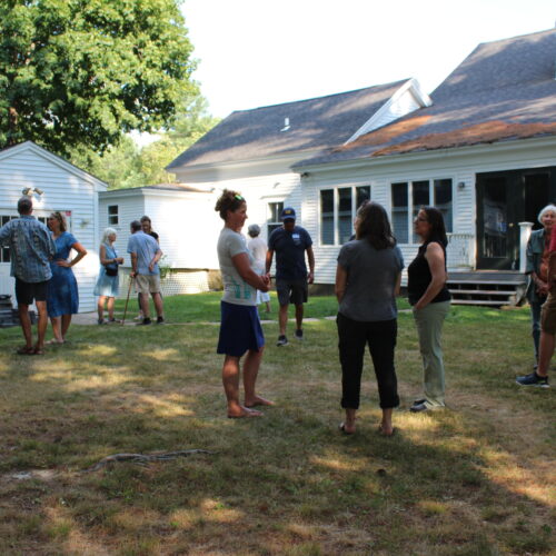
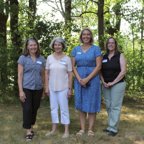
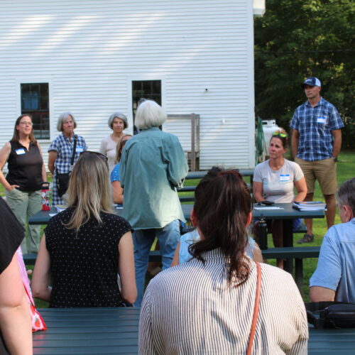
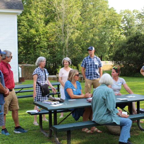
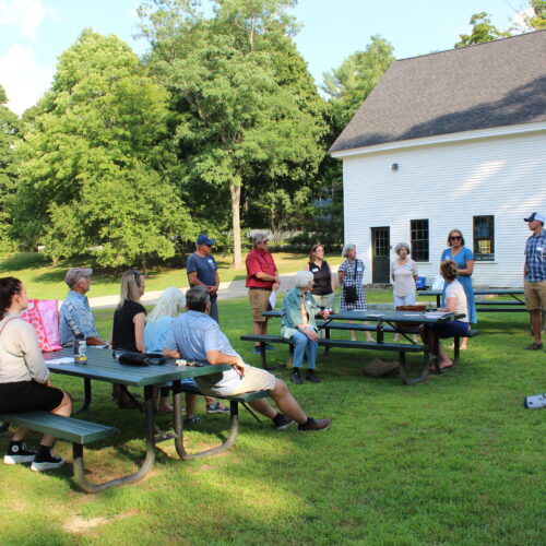
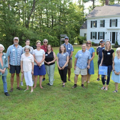
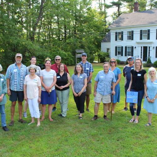
Grantee Meeting 2024