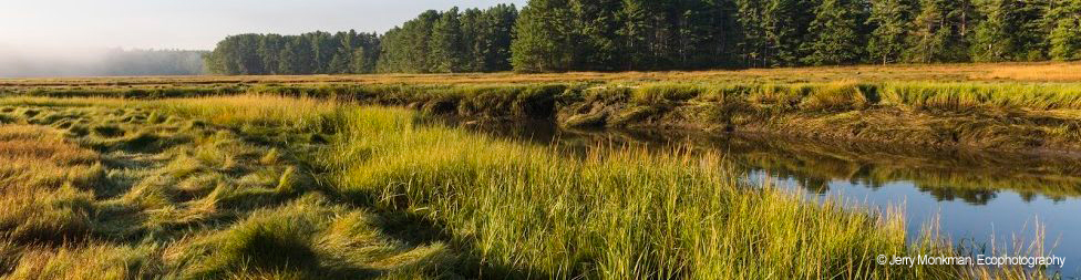
A watershed is the land area from which water flows to form the network of tributaries and brooks that contribute to a river system. The York River watershed covers 33 square miles in parts of South Berwick, Eliot, Kittery, and York. While the York River itself is about 13 miles long, the York River watershed includes 109 miles of streams. The York River is a tidal river, with small unnavigable freshwater tributaries feeding into a relatively large tidal basin. Tidal fluctuation can be more than 10 feet. The York River has its headwaters in South Berwick and flows to the Gulf of Maine.
This map that highlights the York River and major tributaries that were designated into the National Wild and Scenic Rivers System also shows the watershed boundary, roads, town boundaries, and conservation lands: Designated Stream Reaches in the York River watershed.
The watershed includes large areas of undeveloped forest land and open space, including over 5,600 acres of conservation and water supply lands representing about 27% of the total area. Within the watershed, the Kittery Water District owns four man-made ponds and dams located in the Town of York. These ponds – Boulter Pond, Folly Pond, Middle Pond and Bell Marsh Reservoir – provide water to the residents of Kittery, the Portsmouth Naval Shipyard, and portions of York and Eliot.
Learn more about York River and its watershed: York River’s outstanding resources